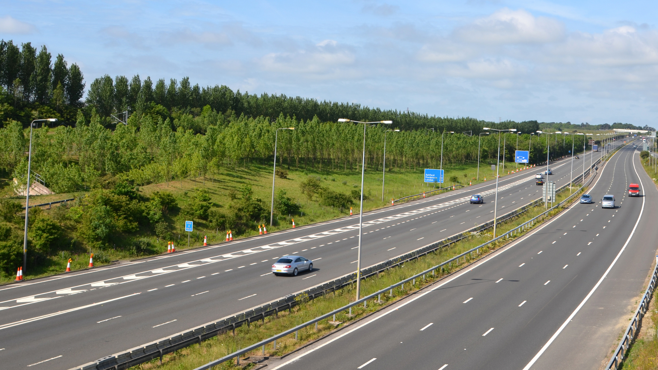
If you’ve used the motorway in the UK, you’ve definitely seen driver location signs. But, do you know how to identify them, and more importantly, are you able to understand them?
What do driver location signs look like?
Driver location signs are roadside signage on motorways, usually running along the hard-shoulder/left hand side lane. They are smaller than directional signage, and they’re bright blue.
You’ll find these signs on all motorways and some of the major A roads. The signs are located every 500 metres.
What are driver location signs used for?
Driver location signs provide information that allows drivers, Highways England, and emergency services, to determine someone’s exact location on a motorway. This is particularly useful in the event of a breakdown or emergency, such as a crash or debris on the carriageway.
What information is on a driver location sign?
On each driver location sign you will find the same pieces of information in the same order across three lines:
Top line – the road identifier to indicate the road you’re on, (for example M6, M25, M1 etc).
Middle line – the carriageway identifier: this will indicate which direction you’re travelling in by being labelled either ‘A’ or ‘B’ and are in relation to whether the numbers increase or decrease towards London.
Bottom line – this displays how far you are from a specific point, usually the start of that stretch of motorway or A road, and will always be measured in kilometers.
When will I need to use a driver location sign?
You will only need to use a driver location sign if you need to alert a recovery vehicle or the emergency services to your exact location on the motorway in the event that you cannot leave the carriageway in your vehicle.
Where possible, always try and exit the motorway network before stopping and only use the hard shoulder if you absolutely have to.


