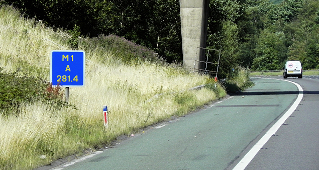
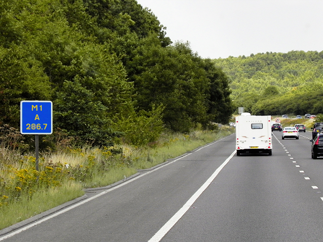
We’re back again with another informative blog to help make your motorway journeys that little bit smoother. For anyone that has previously travelled on the motorway, you’ll recognise these small blue signs that seem to be randomly placed alongside the hard shoulder, but how many people know what they are? Are you part of the 76% of drivers that do not know what the signs represent?

‘Driver location signs’ provide information that allows drivers to know their exact location; this is particularly handy in the event of a breakdown or an emergency. You’ll find these signs on all motorways and some of the major A roads. The signs are always blue and located every 500 metres.
The signs are made up of three different lines, each containing important information:
- The road identifier: The top line indicates the road you’re on, for example M1, M6, A40.
- The carriageway identifier: The middle line will be either ‘A’ or ‘B’, this indicates which direction you’re travelling. ‘A’ can refer to northbound, the side on which the numbers increase or Away from London. ‘B’ refers to either southbound, the side on which the junction numbers decrease, or Back to London.
- The location: The bottom line displays how far you’ve travelled from a given location, normally the start of the motorway or A road. This is in kilometres.
If you’re experiencing problems with your vehicle when driving on the motorway, aim to pull over at your nearest Moto and inspect the car safely. If you need to pull over on the hard shoulder use these markers to inform your breakdown provider your exact location. For more information on what to do if you breakdown, check out our previous blog. As always, drive safely!


